gprtexas.com
the gprtexas difference




We are committed to maintaining high standards in the products and services offered, ensuring that all GPR equipment, accessories and training meet or exceed industry standards.
We are committed to conducting business with honesty and transparency, ensuring reliable communication and ethical practices in all interactions with clients and partners.
We leverage a deep knowledge of GPR technology and applications to educate clients and provide them with the best possible equipment, training and support.
Prioritizing the needs of clients by offering exceptional service, timely support, and solutions tailored to their specific GPR applications.
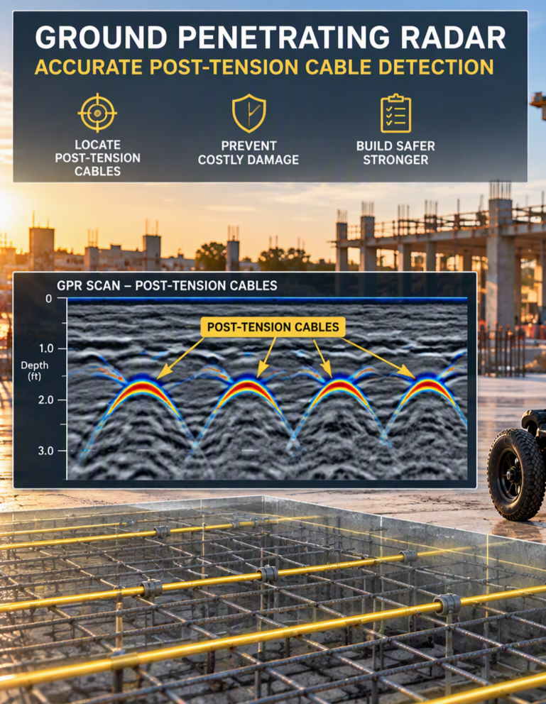
Ground Penetrating Radar for Accurate Post-Tension Cable Detection: Non‑Destructive, High‑Resolution Subsurface Mapping
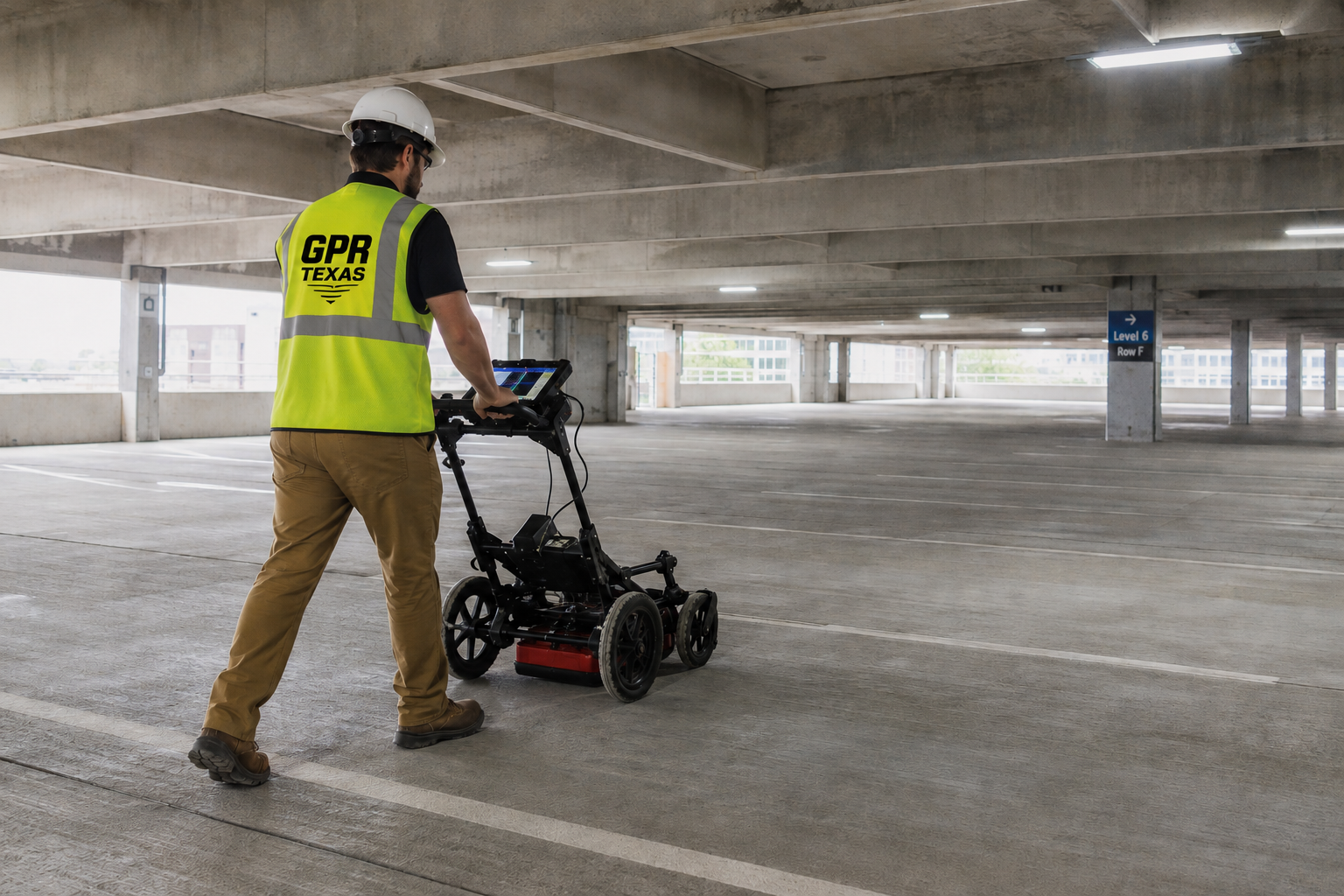
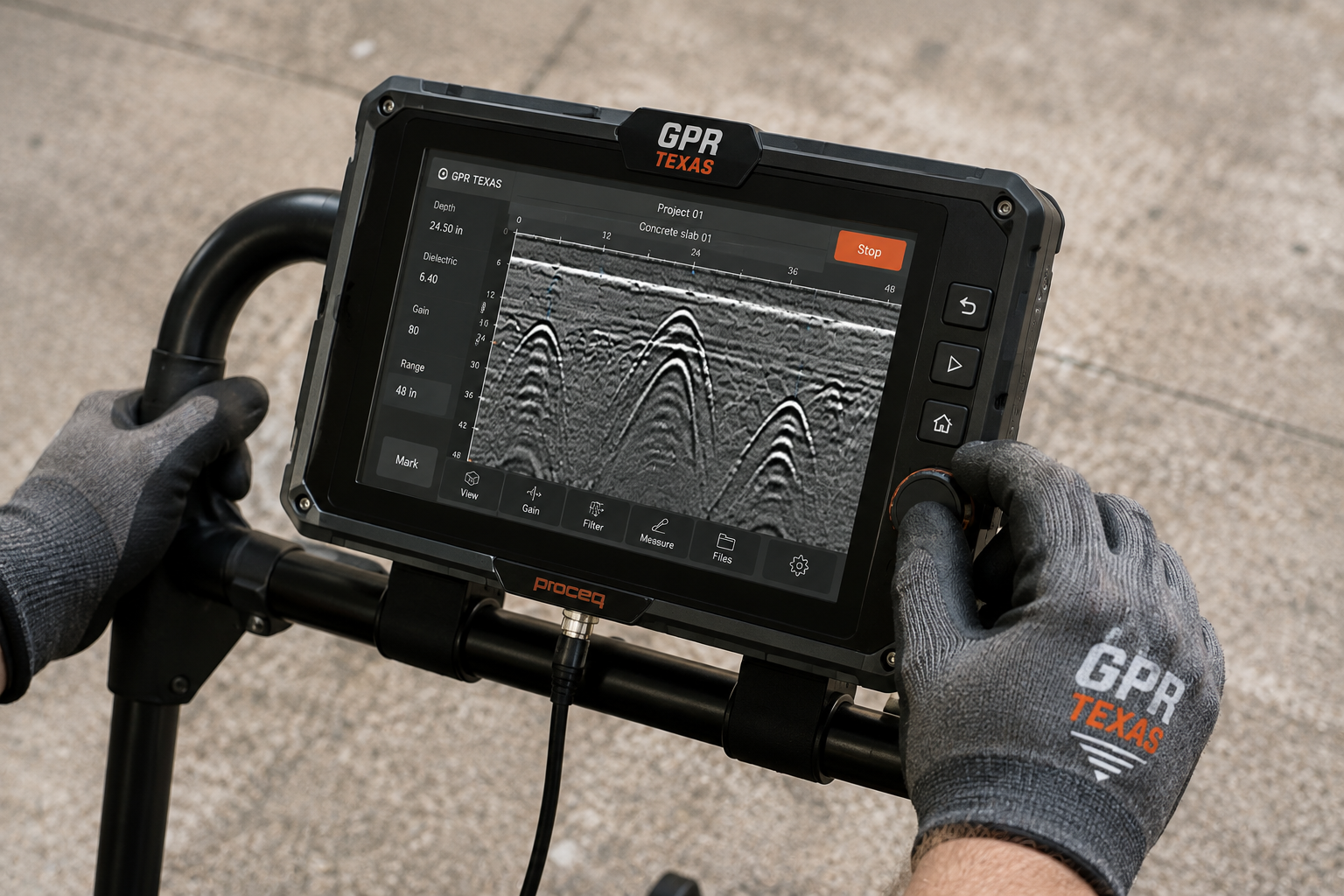
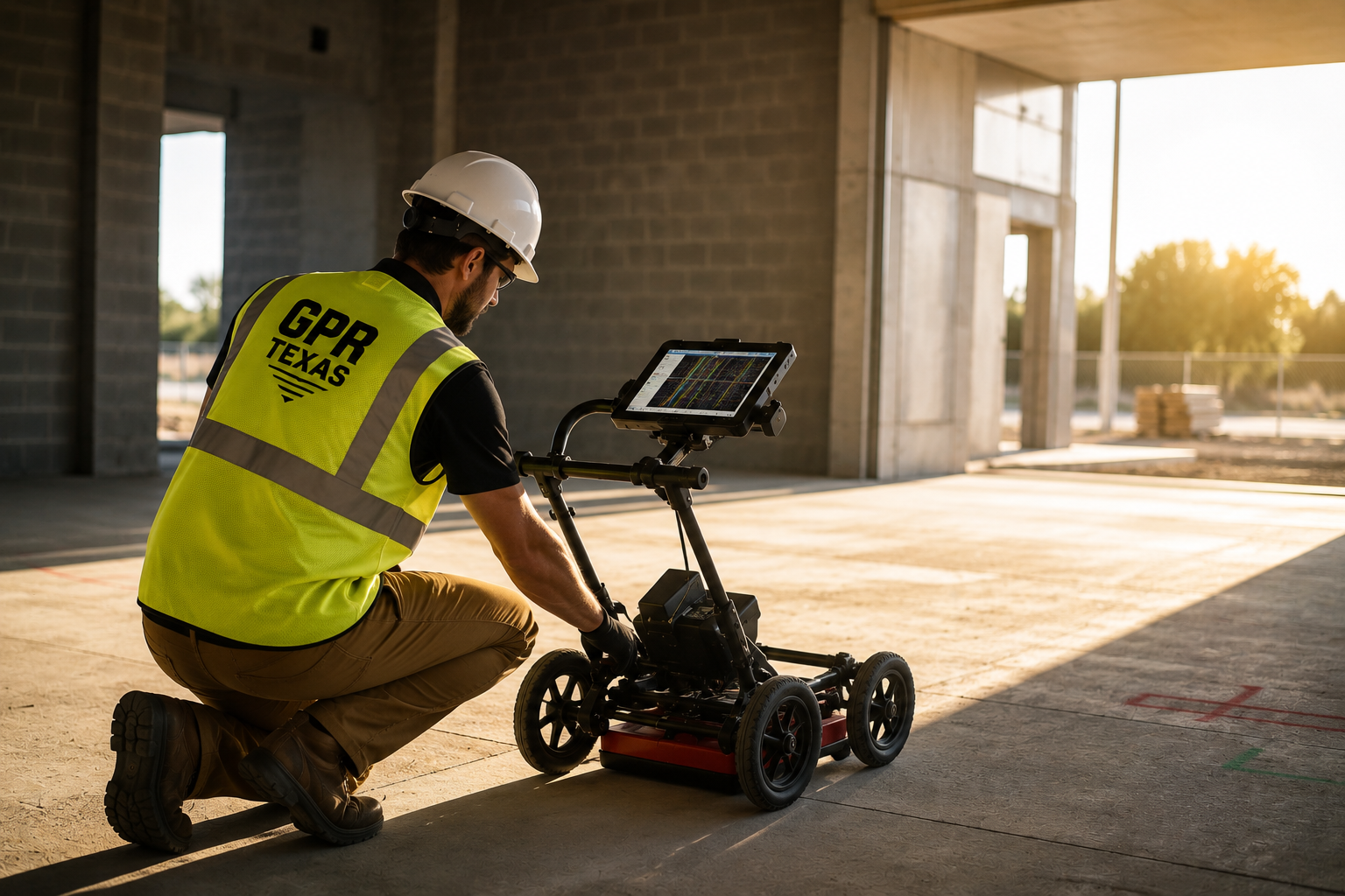
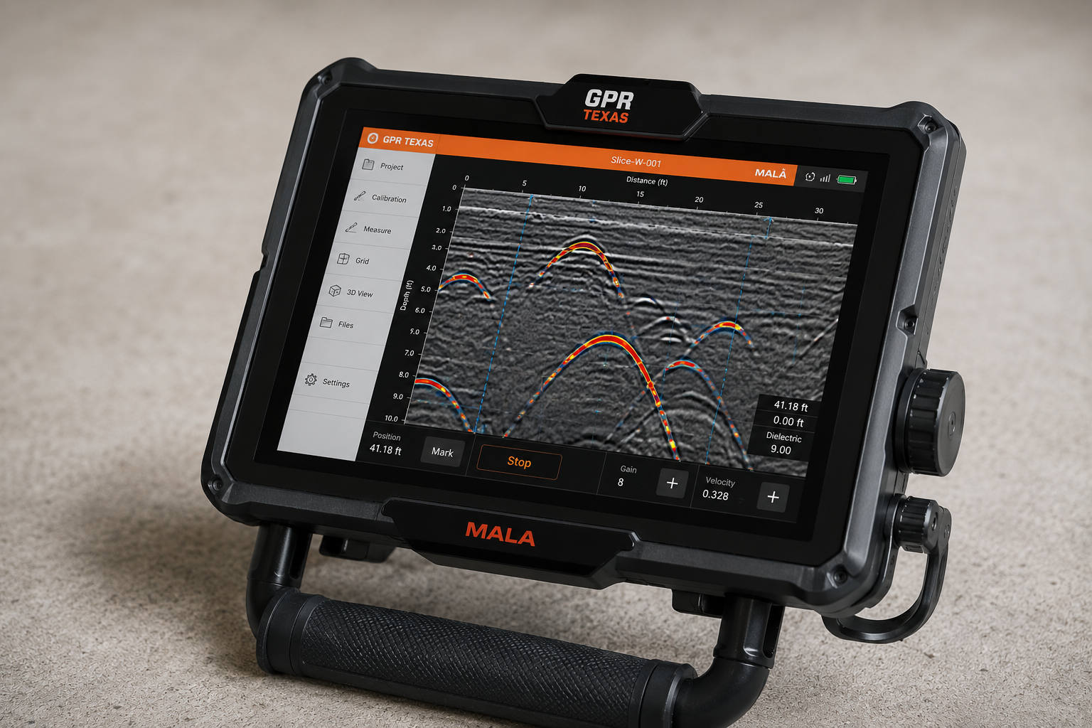
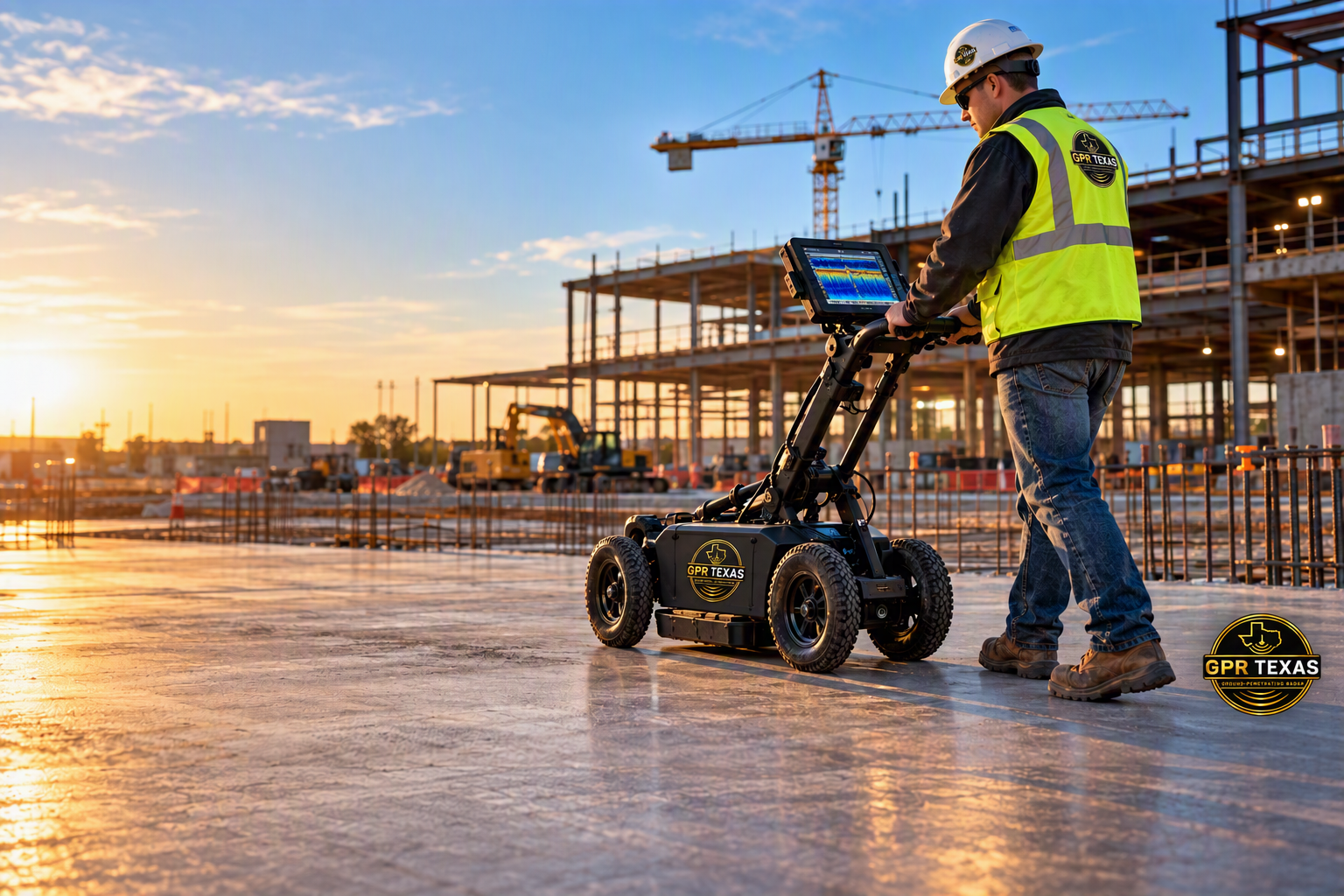
Ground-penetrating radar (GPR) is used to locate and map post-tension cables by emitting high-frequency electromagnetic pulses into concrete and soil and recording the reflected signals from subsurface features. Experienced technicians survey slabs and structures in a grid pattern, producing radar profiles that reveal the position, depth, and orientation of tension ducts and tendons; advanced processing and interpretation can distinguish cables from other utilities and anomalies. Accurate GPR mapping is essential before cutting, coring, or drilling to prevent accidental severing of active post-tension cables, ensuring worker safety and avoiding costly structural repairs—services that complement the firm’s broader analytical offerings to academic, governmental, and private clients.
FAQs
What is ground pentrating radar?
1
GPR is a non-invasive geophysical method that uses radar pulses to image the subsurface. It works by transmitting high-frequency electromagnetic waves into the ground and recording the reflected signals from subsurface structures and materials.
what are the typical applications of gpr?
2
GPR is used in various fields, including civil engineering (for concrete inspection), archaeology (for locating artifacts), environmental studies (for mapping contamination), geology (for subsurface mapping), and utility locating (to find buried pipes and cables).
how deep can gpr penetrate the ground?
3
The penetration depth of GPR depends on several factors, including the frequency of the radar waves, the electrical properties of the soil, and the presence of conductive materials. Typically, GPR can penetrate from a few inches to 15'-20' but higher frequencies have limited depth due to attenuation.
do i need a special license to operate gpr equipment?
4
No special license is required to operate GPR equipment. However, it’s essential to follow local regulations, especially when working in areas with buried utilities. Training in GPR operation and data interpretation is highly recommended.
Follow along with our project photos